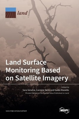
Land Surface Monitoring Based on Satellite Imagery


Descriere
Raporteaza produsVânzatorul este direct răspunzator pentru produsul afișat în această pagină.
Specificatii
This book focuses attention on significant novel approaches developed to monitor land surface by exploiting satellite data in the infrared and visible ranges. Unlike in situ measurements, satellite data provide global coverage and higher temporal resolution, with very accurate retrievals of land parameters. This is fundamental in the study of climate change and global warming. The authors offer an overview of different methodologies to retrieve land surface parameters- evapotranspiration, emissivity contrast and water deficit indices, land subsidence, leaf area index, vegetation height, and crop coefficient-all of which play a significant role in the study of land cover, land use, monitoring of vegetation and soil water stress, as well as early warning and detection of forest fires and drought.
Galerie foto

Modalitati de livrare si plata
LIVRARE
In Bucuresti
-
- Prin Curier rapid - 12.9 Lei in max. 11 zile lucratoare
In Romania:
-
- Prin Curier rapid - 12.9 Lei in max. 11 zile lucratoare
PLATA
- - Ramburs
- - Avans
Politica de retur
- - Produsul nu se poate returna.
Spune-ti parerea acordand o nota produsului


